
Lucas County Neighbor Records by Block
Public sources can describe the property fabric around an address, but they do not provide a verified roll of Lucas County neighbors. The strongest starting point is the AREIS map and parcel card. It can connect a focal address to adjacent parcel geometry, owner and mailing fields, transfers, tax data, and map layers. The name on an owner field does not identify every person who lives at that parcel, and a mailing field can differ from the property address.
| Source | What it shows about a block | Access and limit |
|---|---|---|
| AREIS Map buffer and current list | Adjacent parcel geometry and selected property cards | Public parcel tool, not a household list |
| AREIS parcel card | Owner, mailing and property fields, tax and transfer clues | Property-side record, not renter or household proof |
| Toledo public GIS layers | Neighborhood, historic-district, parcel, zoning, and related geography | Public map reference, not a community-member directory |
| Board public records | Lawful registration or list-maintenance material | Statutory exclusions, protected registrations, and timing limits |
| TLCPL local-history collections | Historical clubs, churches, schools, and neighborhood context | Repository restrictions apply; no current roster claim |
Lucas County neighbors can therefore be researched as adjacent parcels, geographic context, or historical community evidence. Each of those categories has a different level of detail and a different privacy boundary.
Mapping a Lucas County Block Carefully
The Auditor's map method is specific. Find an address, parcel, or intersection, then inspect parcel polygons around the focal parcel. The map can also use Distance and Units, parcel Center Points or Polygons, and Select By Buffer. After activating the buffer, use View Current List and open only the returned parcel cards needed for the question. That sequence maps a block's property record without pretending it has created a neighbor roster.
- Locate the focal address in AREIS and record its parcel number and property address.
- Browse adjacent parcel polygons or set a distance and unit for a Select By Buffer search.
- Open View Current List, then read the selected cards for parcel, owner, mailing, transfer, and map details.
- Use the map layers to place the block in a ZIP, jurisdiction, school-district, floodplain, wetland, market area, or historic-lot context.
- Move to the Recorder only if a title or transfer question needs the legal description, date, and party roles behind the parcel.
For a whole named street rather than the immediate block, the Lucas County by-street directory follows the longer address-to-Recorder chain.
Lucas County Neighbor Parcel Facts
AREIS can show a current owner, a property or situs address, an owner mailing address, building attributes, assessed taxes, map information, zoning, and transfers. The property address identifies the parcel location. The mailing address is correspondence information. The legal description is the formal land reference that can connect the card to a recorded instrument, even where the instrument does not carry a modern street address. Tax-map boundaries are useful for research but not legal surveys.
Transfers can show ownership-side facts such as a buyer, seller, date, price, and deed type. They are not evidence of every prior or present household member. A lien or mortgage is also not a title transfer. These distinctions matter when two Lucas County neighbors have the same surname, use trusts or companies, or receive mail elsewhere.
The Lucas County Auditor GIS page describes AREIS mapping, available layers, and daily-updated parcel, street, building-footprint, and real-estate database downloads.
Map geography helps explain a block, while the parcel card supplies the limited property facts for each selected lot.
Lucas County Neighbors and Toledo Geography
Toledo's public GIS service has Neighborhood and Community Areas, Historic Districts, parcels, and zoning services. The planning legend identifies neighborhoods such as Old West End, East Toledo, Birmingham, Junction, Lagrange, Point Place, South Side, and Westgate among others. This is a useful way to label the geographic setting of a block. It is not a list of residents, association members, or current household contacts.
Jurisdiction matters. A Toledo municipal record concerns the city. A Lucas County parcel, Recorder, Board, or Common Pleas record may cover an address in a suburban city, village, township, or unincorporated area. ZIP, city, property, and legal-description layers do not always line up, so the map must be read with the record keeper's jurisdiction in mind.
The City of Toledo cemetery lookup is a municipal historical source with its own name and date fields, rather than a general neighbor search.
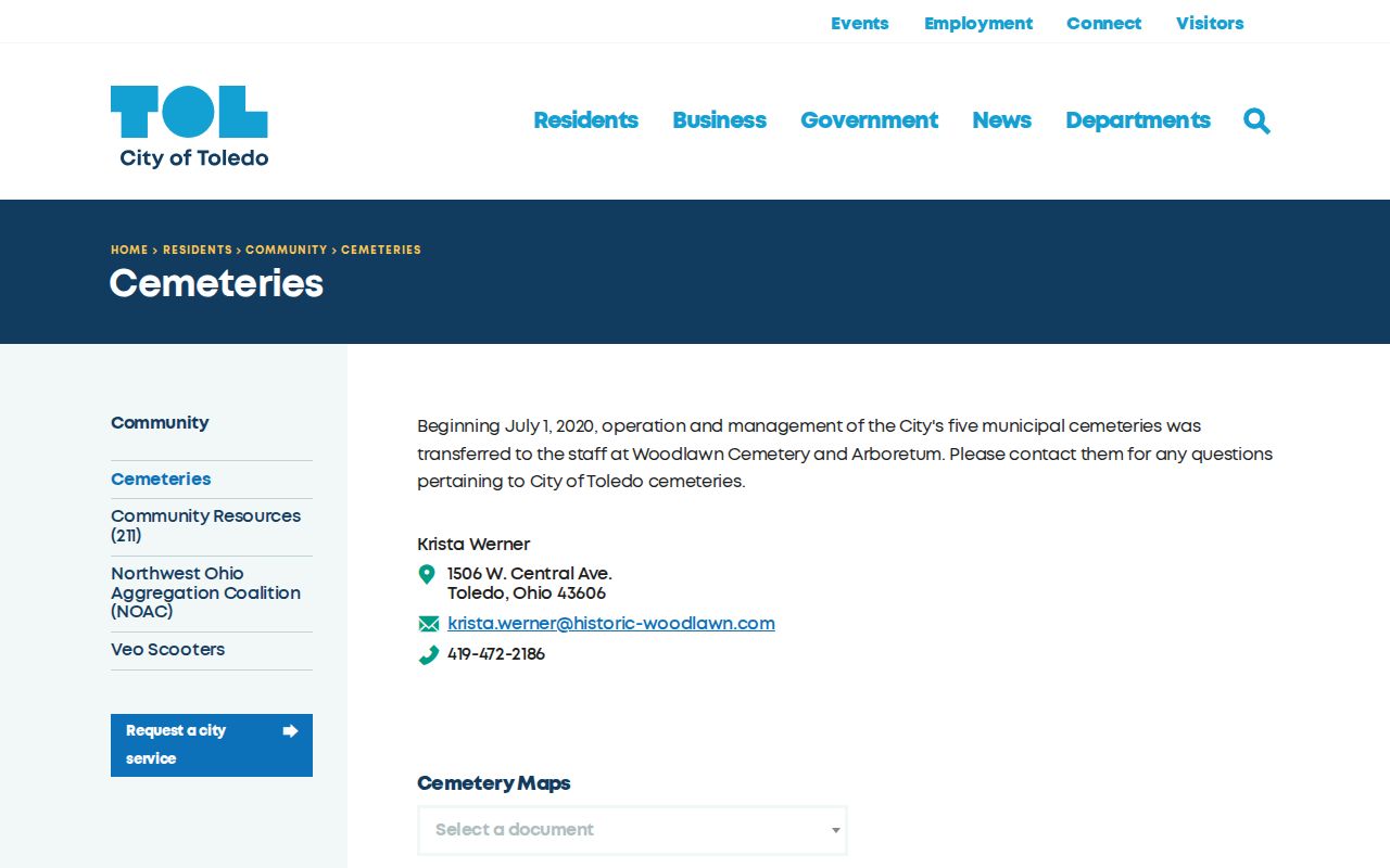
Municipal resources, including cemetery and historic geographic sources, can add local context but should not be extended past their stated scope.
Lucas County Historical Block Context
A past block often needs a historical source rather than a modern parcel card. TLCPL's Women of the Old West End Collection Address Index is keyed by number, street, building, architect, event, year, box, and folder. It supports a focused historic-house inquiry without claiming present occupants. TLCPL also holds historical clubs, neighborhood, church, labor, school, and organization collections that require repository access and privacy-aware reading.
Street continuity can change the search. Current Ashland Avenue was Territorial Road on an 1852 map, while a portion of Adams Street became Louis Escobar Way in 2021. Early Toledo city directories also lacked reliable house numbers in 1858. A historic address may therefore need a lot, addition, plat, block, or old street-name bridge before a library search can reach the correct place.
The Old West End address index is one documented address-keyed library collection.
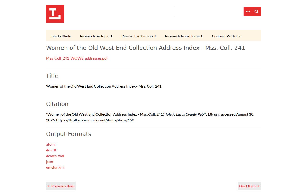
Its catalog context can guide a historic block search without converting a local-history collection into a current-neighbor directory.
Lucas County Neighbor Community Sources
No verified current neighborhood-association roster or member-contact directory was supplied by the research. The safest local channels are the public geography services and historical repositories below. They help identify a block's civic or historical setting without presenting a private membership list as public data.
| Community channel | What the research verifies | How to use it |
|---|---|---|
| Toledo public GIS | Neighborhood and community-area, historic-district, parcel, and zoning services | Use it to identify the mapped area around a Toledo block. |
| TLCPL Neighborhoods of Toledo collection | Local-history repository material | Ask the repository about access and restrictions for a historical question. |
| TLCPL Clubs, Churches, Schools, and organizations collections | Named manuscript-collection categories | Use as historical finding-aid leads, not a current member directory. |
| City historic plat collection | Browsable nineteenth-century Toledo additions and maps | Bridge a current parcel to a historic addition or lot pattern. |
The City of Toledo historic plat maps include the recently expanded browse collection for nineteenth-century additions.
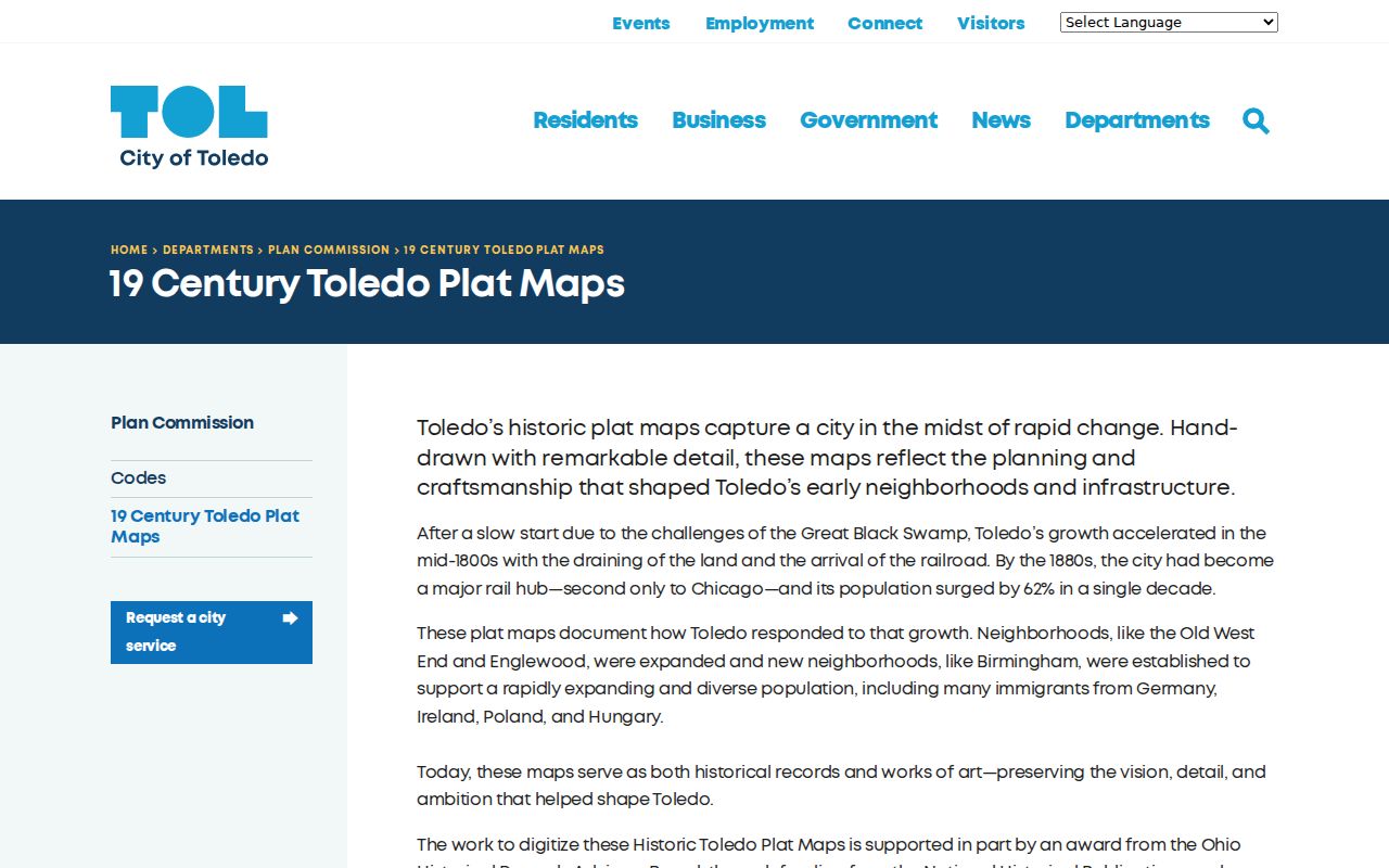
Historic plats can relate a block to an addition or older lot pattern, but they do not establish a present neighbor list.
Lucas County Neighbor Voter Boundaries
Ohio's individual voter lookup is designed for a named person and county, not a nearby-address search. ORC 3503.13 makes the public registration baseline subject to exclusions, including confidential records and protected fields. Safe at Home participants are omitted from public databases, lists, and pollbooks. The state site can show registration-related information as of its update; it is not a block-research tool.
A person with a lawful need for precinct or list-maintenance material should contact the Board through the proper records channel and respect the statutory timing limits. The Board may halt copying during the period around an election when the activity would interfere with its work. A voter record also does not reveal ballot choice, and Ohio does not register voters by party.
Note: The fact that a public registration channel exists does not permit a searcher to compile nearby people into a neighborhood roll.
Lucas County Neighbor Tools Compared
Official systems and commercial neighbor-search products have very different value. The official route states its custodian, record type, date, and legal limits. A commercial category may combine claims from different times and places, charge for access, and fail to show the source or correction path. Neither kind of result turns a property owner record into proof of all people at an address.
| Official property and map records | Commercial neighbor-search category |
|---|---|
| Source and custodian are identified; results can be checked with the Auditor, Recorder, Board, court, or library. | Claims may be stale, mixed, or difficult to verify against a primary record. |
| AREIS and public GIS describe parcels and geography with explicit limits. | A bundled profile may blur owner, mailing, historic, and location information. |
| Correction or copy questions go to the office holding the underlying record. | Removal or correction processes do not change an official county record. |
The useful question is narrow: which property records surround a focal lot, or which historical map explains the block? For the full record chain along a named street, use the by-street route instead of expanding a neighbor search indefinitely.
Privacy Limits for Lucas County Neighbors
Public parcel systems do not reveal an exhaustive set of household members. They do not provide private utility or delivery records, motor-vehicle personal information, confidential voters, Safe at Home participants, or statutory redactions. A property owner, mailing address, transfer entry, historic directory, or map layer must stay within the limited fact it actually displays.
Ohio's anti-harassment and stalking laws apply to information obtained from public records. A block search should never be used to watch, contact, threaten, or harm a person. Where an urgent safety concern exists, use the appropriate emergency or law-enforcement channel rather than trying to resolve it through a parcel map.
Lucas County Neighbor Records at the Source
Some block questions end with a custodial request. Toledo Police offers a public-records route for defined incident, video, policy, and multi-report requests, while its one-incident report route requires details such as a person role, incident type, location or date, and return email. A report is not a neighbor directory, and a request may be redacted or subject to fees and custody rules.
The Lucas County Corrections Center publishes a rolling booking summary that updates electronically every twelve hours. It is not a complete historic or name-search roster, and a status on the short report window should not be treated as proof of current custody or a person's location. These agency records are only appropriate for a specific, lawful question.
The Toledo Police public-records process is the official route for a defined request.
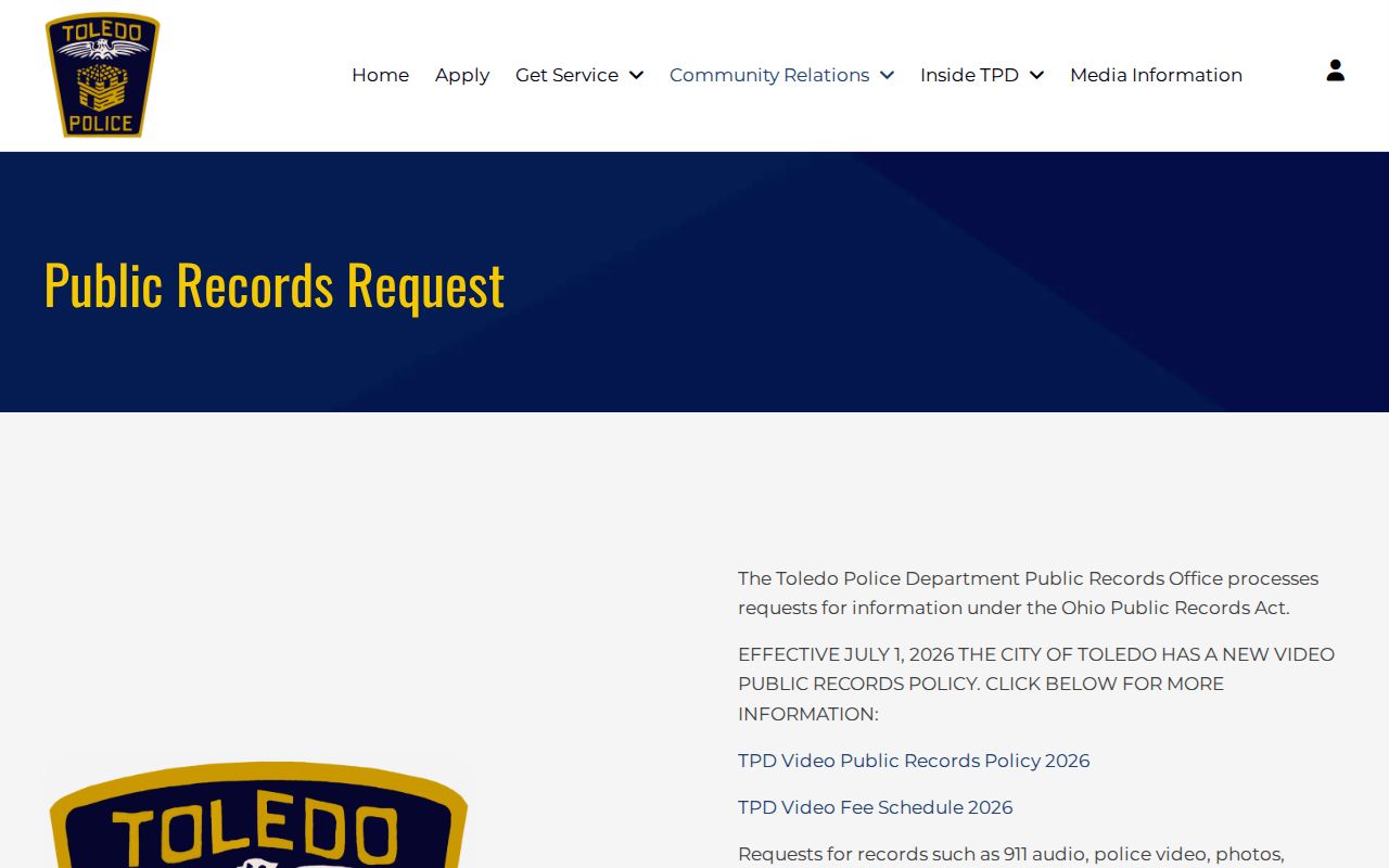
Contact the agency holding the record for access, redaction, or correction questions instead of repurposing an incident record as a block list.
The Lucas County Corrections Center describes the official booking-summary channel and its limited operational context.
Keeping law-enforcement, property, and community-history records in separate lanes is the most accurate way to understand a Lucas County block.