
Lucas County ZIP Code Coverage
Lucas County publishes a useful, limited list in an appendix titled “Lucas County Zip Codes with Delinquent Parcels.” That list is evidence that those values appear in a county tax context. It is not proof that every listed value is a delivery area, a named post office territory, or wholly within a county or municipal line. The safe approach is to verify a particular address with USPS, then compare the address with AREIS parcel and jurisdiction layers.
| ZIP | Areas covered | Post office | Evidence-aware note |
|---|---|---|---|
| 43434, 43504, 43528, 43537, 43542, 43547, 43560, 43566, 43571 | County delinquent-parcel appendix; no area field supplied | Not supplied by the county appendix | Verify the actual address and postal city through USPS before assigning coverage. |
| 43601, 43603, 43604, 43605, 43606, 43607, 43608, 43609, 43610, 43611, 43612, 43613, 43614, 43615, 43616, 43617, 43618, 43620, 43623, 43635 | County delinquent-parcel appendix; no area field supplied | Not supplied by the county appendix | Use AREIS layers beside the USPS result; do not treat the tax list as a municipal map. |
| 43652, 43656, 43657, 43661, 43666, 43667, 43681, 43682, 43697, 43699 | County delinquent-parcel appendix; no area field supplied | Not supplied by the county appendix | Precise delivery, post-office, PO-box, unique-code, and overlap classifications were not verified in the research. |
The source is the county’s delinquent-parcel appendix. It should not be converted into a complete county delivery list or a neighborhood directory.
Verify Lucas County ZIP Codes
USPS ZIP Code Lookup is the address-accuracy step. Its By Address mode uses a street address and can take an apartment or suite, city, state, ZIP, and optional company field. It also has City and State, plus Cities by ZIP, paths. USPS directs users to narrow an address or unit when several results match and expressly warns that a result does not confirm a person or company at that address.
The USPS address and city lookup is the official postal verification surface.
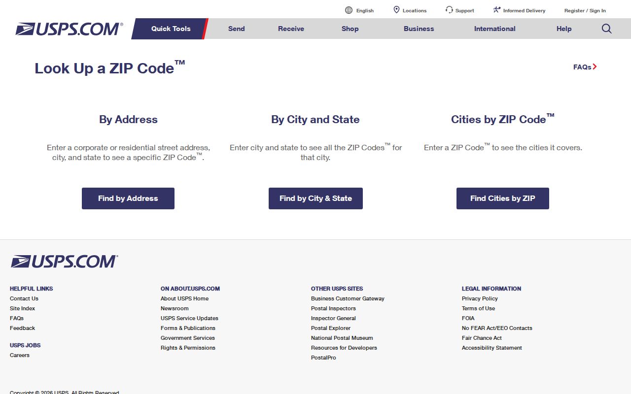
A postal result is best recorded with the exact address searched and the date checked. It establishes a mailing-geography result, not property ownership or a resident list.
Note: USPS can resolve a postal value for an address, but its own notice says that result does not confirm a person or company there.
Lucas County ZIP Parcel Searches
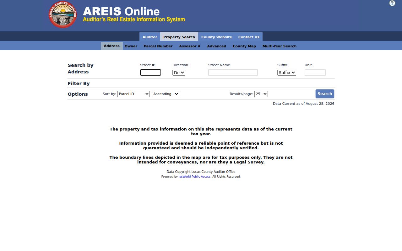
AREIS is the county property route after a postal result is known. The basic address, owner, and parcel screens are separate and the basic form did not show a ZIP field. Its advanced criteria includes ZIP, alongside property and assessment criteria. The county map also has a ZIP layer that can be displayed beside parcels and jurisdiction. These routes return property and tax parcel data, not everyone associated with a postal area.
The AREIS map and property-search surface provides the public parcel and geography tools.
Turn on ZIP Codes with Parcels and Jurisdiction when comparing records geography. A layer comparison helps identify why a mailing result and a city map may describe the same place differently.
Lucas County ZIP Tool Fields
The fields below are the verified controls that matter for a ZIP-focused property or postal check. AREIS advanced search is a parcel filter, while USPS is the postal verifier. Neither source is described as a person-search filter.
| Tool and field | Type | Required | Verified use |
|---|---|---|---|
| AREIS Advanced: ZIP | Advanced criterion | Chosen when used | Filters property and tax-parcel results; the basic form has no verified ZIP field. |
| AREIS County Map: ZIP | Map layer | Optional | Compare with Parcels and Jurisdiction, then inspect the current parcel list. |
| USPS By Address: Street Address | Text | Required | Company is optional; Apt/Suite, City, State, and ZIP are additional address controls. |
| USPS By City and State | Text fields | City and State required | Returns postal information for the city and state query. |
| USPS Cities by ZIP | Text | ZIP required | Postal-city lookup route, not an address or person confirmation. |
The AREIS Advanced search documents the property-side ZIP criterion, and USPS supplies the postal-side fields.
Lucas County ZIP Geography
One Lucas County location can carry several valid geographic labels, each for a different record system. Keeping them separate is especially useful where Toledo city tools meet countywide property data and a postal address reaches beyond a municipal line. The comparison below avoids turning one key into a substitute for another.
| Geographic key | What it identifies | Lucas County research use |
|---|---|---|
| Postal ZIP | Mailing geography for a USPS result | Verify an actual address, then compare it with county map layers. |
| Property or situs address | Where a parcel is located | Use as the address entry to AREIS and related map tools. |
| Owner mailing address | Correspondence field on a tax card | Do not describe it as proof that the owner occupies the property. |
| Legal description | Deed and plat identifier | Carry it to Recorder records when the street label is absent or has changed. |
| Municipal jurisdiction | Government-service boundary | Use it to decide whether a Toledo-only permit path applies. |
Lucas County ZIP Boundary Myth
Myth. A Toledo mailing ZIP does not settle whether an address is inside the City of Toledo, a particular township, or another local jurisdiction. Postal boundaries, parcel mapping, and city limits are distinct systems. The county appendix is a tax-list source, and a postal lookup is an address-verification source. Neither replaces the jurisdiction layer in AREIS.
Insider tip. Compare the AREIS ZIP Codes and Jurisdiction layers before using a Toledo-only permit or service record. That one check prevents a postal label from choosing the wrong custodian.
Note: A ZIP value can be useful context for a parcel search without defining the city, township, property line, or legal description.
Finding Residents by Lucas County ZIP
A ZIP narrows property geography first. It does not unlock a ZIP-wide resident list in the inspected official systems. Use a known name only in the Board’s individual lookup, and use an exact address only where the source supports it. If a lawful civic or public-record question requires a voter list or list-maintenance material, the Board’s public-record channel and Ohio’s statutory exclusions govern the request.
- Use USPS By Address to verify the mailing result for the complete address and unit, when known.
- In AREIS Advanced, select the ZIP criterion to return matching property and tax-parcel records.
- Open the AREIS map, turn on the ZIP layer with Parcels and Jurisdiction, and inspect the current list rather than assuming a boundary from a number alone.
- For one named registration question, use the Lucas County Voter Information Search, which requires last and first name; it is not a ZIP filter.
- When the result reaches one address, use the Lucas County street directory workflow for the parcel, transfer, Recorder, and historical-address chain.
The Board’s public information remains subject to exclusions for confidential registrations, protected addresses, phone and email data, identification numbers, and other material made nonpublic by law. Ohio does not register voters by party, and participation history is not a ballot-choice record.
Lucas County ZIP Boundaries
Postal delivery and property records must meet at the actual address. A ZIP may cross jurisdiction layers, and an address with a county value in the delinquent-parcel appendix might need a separate USPS check before any postal-city or post-office label is stated. The research did not capture an official export that classifies every listed value by delivery area, post office, PO-box use, unique-code use, or overlap. Those unknowns belong in the record, not in a guessed table.
- ZIP versus ZIP+4
- A ZIP identifies a broader postal area; ZIP+4 adds a more specific delivery segment. No Lucas County ZIP+4 list was verified here.
- PO-box ZIP
- A postal value used for post-office boxes. The county appendix does not identify which listed values have that role.
- Unique ZIP
- A postal value associated with one organization or high-volume addressee. No county-specific classification was verified in the inspected sources.
- Carrier route
- A delivery grouping used within postal operations. It is not a county parcel boundary or a resident roster.
Note: Verify a particular postal result with USPS and a particular property location with AREIS before combining the two descriptions.
Lucas County ZIP Record Limits
The county’s tax appendix should not be expanded into a complete ZIP directory for delivery or post-office purposes. AREIS advanced results are parcels, tax values, and property-side fields. The map’s ZIP layer provides records geography. USPS verifies mailing information for an actual address. None of those sources establishes an exhaustive set of people connected to a postal area.
For a public record held by a county office, Ohio’s Public Records Act, ORC 149.43 is the request baseline, subject to record-specific exceptions. Direct a focused request to the office that created the record. The Lucas County Records Center stores material for county agencies but says it cannot process a general-public request directly.
Lucas County ZIP Historical Keys
ZIP geography is a modern postal layer, so it cannot resolve every older street question. An 1852 map calls today’s Ashland Avenue Territorial Road, Jackson Street was not platted until after 1852, and early Toledo directories often located entries by block rather than house number. Use a legal description, historic plat, or the Toledo-Lucas County Public Library house-history resources when the period predates the modern address pattern.
For a Toledo address, permit history is also address-keyed, while the library’s 1910-forward street guides and later block-card images add historical context. Those sources place a record in time; they do not replace a current postal verification.