
Lucas County Street Directory Workflow
A useful street search begins with the exact address, not a broad name search. The Lucas County Auditor’s AREIS address search turns separate street parts into a parcel record. That card can point to the owner field, transfer details, tax context, and legal description. The Lucas County Recorder supplies the recorded-instrument layer, while the Board of Elections and library each answer narrower questions. This sequence joins address evidence; it does not create a complete roster of people at a location.
- Enter the number, direction, street name, suffix, and unit, when known, in AREIS and save the parcel ID and property address.
- Use the owner or parcel route only to identify the tax-record party and the parcel’s legal-description clue.
- Open the AREIS County Map to compare the focal parcel with map layers and nearby parcel geometry.
- Read the transfer entry, then take the buyer, seller, date, and legal description to the Recorder’s party and document path.
- For a named registration question, use the Lucas County Voter Information Search; for a lawful public-file request, contact the Board rather than promising a street list.
- For an older Toledo address, check the Toledo-Lucas County Public Library house-history route and its street-guide holdings.
The order matters. A parcel card helps identify the land record, a map places that parcel, and a recorded deed ties parties to a legal description. Historical directories can add an earlier address pointer. Each step needs its own date and source.
Lucas County Street AREIS Fields
AREIS separates the parts of an address instead of treating a full street line as one field. Start with the address mode for a street-to-parcel search. The owner tab uses a required Name field in LastName FirstName form, and parcel mode accepts a full or partial Parcel ID. The visible owner, assessor-number, advanced, map, and multi-year modes are different paths, so a result from one should not be assumed to come from another.
The AREIS owner-search screen shows the public route from a name to property records.
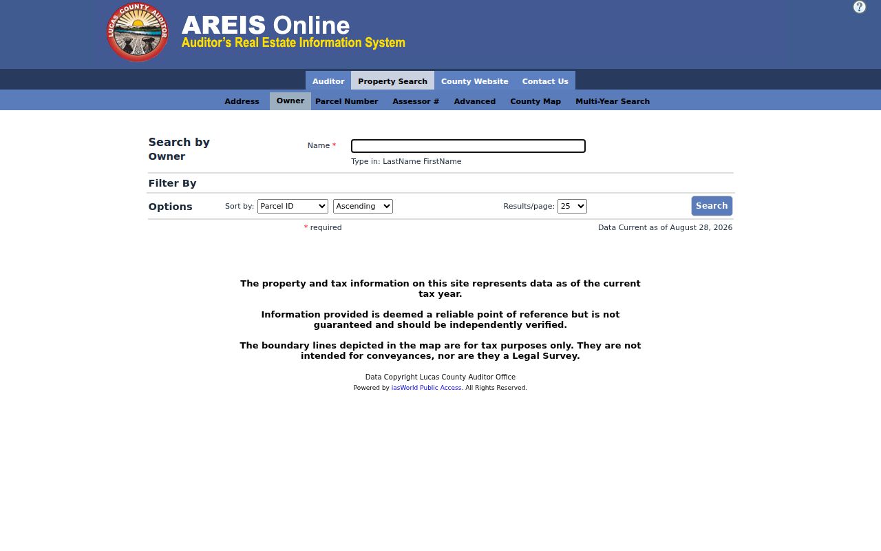
Use the owner result as a property-record lead, then return to the parcel and transfer information before drawing a title-history conclusion.
| AREIS address field | Input | Required | Verified format or option |
|---|---|---|---|
| Street # | Text, maximum 5 | Optional on form | Needed for a precise address; enter separately from street parts. |
| Direction | Dropdown | Optional | Blank/Dir, E, N, S, or W. |
| Street Name | Text, maximum 20 | Normally needed | Enter the street name without inventing a suffix. |
| Suffix | Dropdown | Optional | Blank/Suffix, AVE, BLVD, CIR, CT, DR, HWY, LN, PKWY, PL, RD, SQ, ST, TER, TRL, or WAY. |
| Unit | Text, maximum 5 | Optional | Unit qualifier. |
| Sort by | Dropdown | Optional | Parcel ID, Assessor #, Owner Name, Parcel Address, Land Use, or Total Value. |
| Sort direction | Dropdown | Optional | Ascending or Descending. |
| Results per page | Dropdown | Optional | 10, 25, 50, or 100. |
The basic screen did not display a ZIP field. AREIS places ZIP Code among advanced criteria, so an address search and a ZIP-to-parcel search are not the same operation.
The AREIS Advanced-search view is the separate narrowing route.
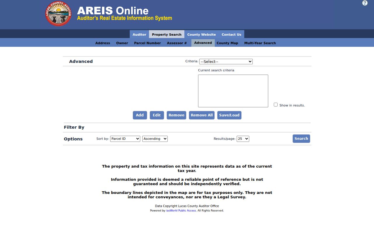
Advanced criteria can refine a parcel search, but the county describes it as a property pathway rather than a ZIP-wide people lookup.
Lucas County Street Parcel Cards
The property card distinguishes the property or situs address from the owner mailing address. It can show a parcel ID, assessor number, tax year, legal description, land-use context, zoning, transfer clues, and property-tax classifications. The card may also expose prior-owner, sale amount, deed number, and sale-date fields in the recent-sale area. Those are property-side facts. A mailing address is correspondence information, and neither it nor an owner field proves who occupies a property.
The AREIS parcel-search screen is the route for a known Parcel ID.
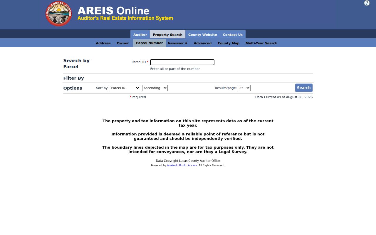
Save the parcel ID and legal description with the search notes. A construction date shown in AREIS should be checked against another source when it matters.
- Parcel
- A tax-mapping unit tied to the Auditor’s property record.
- Situs address
- The physical property address, distinct from an owner’s correspondence address.
- Plat
- A recorded map that lays out lots, streets, or additions and can help bridge an older address.
- Criss-cross directory
- A reverse street listing that works from an address toward a historical name or business entry.
Note: AREIS describes current tax information as a reference point, and its tax-map lines are not a legal survey.
Lucas County Street Map Layers
The Auditor’s map supports address, parcel-number, nearest-intersection, and map-browse entry points. Its documented layers include parcel numbers, street lines, ZIP codes, jurisdiction, school district, market area, floodplain, wetlands, historic lot lines, CAUV, soil types, and vacant lots. Use those layers to understand records geography along a street. They do not turn a property map into a list of every person at an address.
The Lucas County Auditor GIS overview describes AREIS mapping and its parcel-data context.
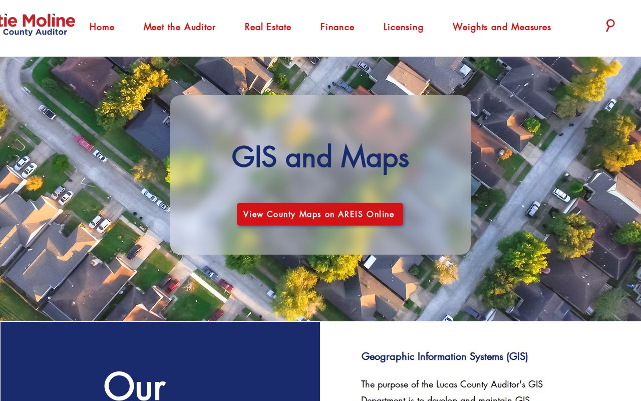
The GIS materials also caution that boundary lines must be independently verified. The property map is useful for research, not for settling a boundary.
The AREIS parcel-map view is where a focused address can be compared against those layers.
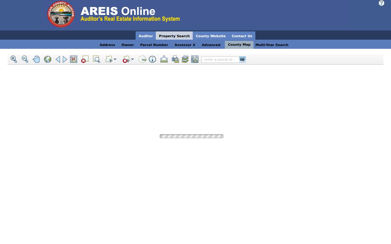
For a focused property question, map the parcel first and record the layer used. That preserves the difference between parcel facts, jurisdiction, and postal geography.
Recorder Deeds Along Lucas Streets
Street numbers often disappear from recorded instruments. That is why the legal description is the handoff from AREIS to the Recorder. Read the Transfers information for the date, price, buyer, seller, and deed type, then search the Recorder by party and approximate period. A later seller may be the earlier grantee, which permits a careful backward chain. Deeds can establish a transfer; a mortgage or lien does not by itself establish title.
The Recorder says imaging began April 14, 2003, but no verified online-index start year was published. Older material should not be treated as missing. The office retains land records in archival form and offers its online-recordings route, a downtown counter, phone at 419-213-4400, and specified email or fax copy paths for escrow-account orders. A focused request should name the instrument, party, legal description, date range, or book and page when available.
Note: A legal description can match a parcel across a changed street label when a deed does not carry a modern street address.
Lucas County Street Permit History
For an address inside Toledo, Building Inspection offers a separate project-history channel. The City’s published route is My Dashboard, Search, Search Location, then an address in the Location box. A date range may narrow the result. Select a returned record and use View Project Info. The City says its electronic permit and plan-review portal replaced an older system, and older-system users must create an account with the same email to access prior permits or applications.
The City of Toledo permit portal links its address-history instructions.
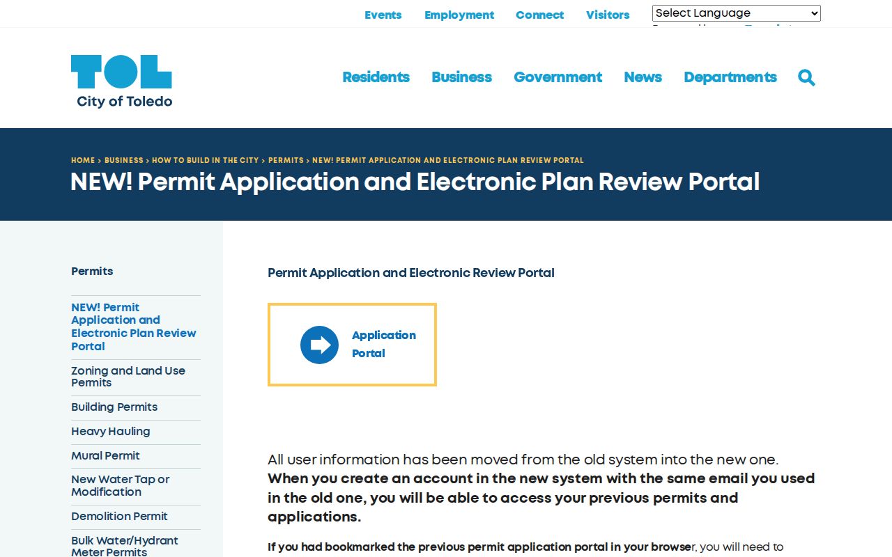
A permit can date work or connect a project to a location. It is not proof of who lived there, and it applies to Toledo rather than every community in Lucas County.
Lucas County Street Record Coverage
These records use different address keys and have different limits. A street-by-street search is strongest when the result is kept in the source category that produced it. The table keeps the access routes distinct and includes the non-online channels documented for records that may need staff assistance.
| Address record | Keeper | Street or address key | Access and limit |
|---|---|---|---|
| AREIS property card | Lucas County Auditor | Separate address parts, owner, parcel, or assessor number | Public online; parcel, owner, property, legal-description, tax, transfer, and map fields are not a list of occupants. |
| AREIS map | Lucas County Auditor | Address, parcel, or intersection | Public map and layers; tax-purpose boundaries are not a legal survey. |
| Recorded documents | Lucas County Recorder | Legal description, party, and date | Online route, counter, or copy request; street address and full online coverage are not guaranteed. |
| Toledo permit history | Toledo Building Inspection | Project address | Portal account path and city counter; Toledo-only project information. |
| Historical street guides | Toledo-Lucas County Public Library | Street guide from 1910; name across holdings | Historical address pointer, with library and collection access rules. |
| Voter records | Lucas County Board of Elections | Individual name and county; Board public-record channel | Public information remains subject to statutory exclusions and confidential registrations. |
A court docket is a separate named-party source, subject to court rules and restrictions. It should not be substituted for address evidence or used to infer present residence.
Lucas County Street Directory Guides
The library’s Local History and Genealogy Department is the local bridge from a past address to directory and house-history material. Its holdings describe Toledo city directories from 1858 forward, with street or address indexes documented from 1910. The first 1858 directory did not reliably use house numbers, so an early entry may place someone only on a block. For the collections and reading conventions, use the Lucas County city directories resource.
Block cards, maps, obituaries, and architecture collections can support a historical address trail, but their time periods and access rules vary. A historical entry belongs to its printed year and should not be treated as a current record.
Note: A reverse street search becomes much more dependable after the documented 1910 address-index cutoff.
Changing Lucas County Street Names
Old street research needs a bridge when a modern label did not exist in the target period. An 1852 map identifies today’s Ashland Avenue as Territorial Road, and Jackson Street was not platted until after 1852. A portion of Adams Street became Louis Escobar Way in 2021. Historic plats, lot or addition names, and the legal description can preserve continuity when the street name or number does not.
Recent work also made more than two dozen 1880s Toledo plat maps available for public display. Those maps help place older additions beside a present parcel, but a historic plat name and an AREIS parcel are still different records that should be noted separately.
Lucas County Street AlertMe Limits
Insider tip. The Recorder’s AlertMe service is a free, voluntary future name-monitoring tool. A user registers names, chooses email or text notices, and receives an alert when a post-signup recorded document matches the spelling entered. It can be useful for watching new filings tied to a chosen name.
AlertMe is not a historical deed search, fraud finding, or ownership determination. Use AREIS, recorded documents, and direct confirmation from the Recorder for those separate tasks.
ZIP Layers on Lucas Streets
A ZIP layer is useful context, not a city-limit line. AREIS maps can display ZIP codes beside jurisdiction and parcels, while the advanced search can use ZIP as a criterion for property records. Postal ZIP, situs address, owner mailing address, legal description, and municipal jurisdiction are separate geographic keys. For a precise postal result, use a postal address lookup.
USPS states that a ZIP result does not confirm a person or company at an address. Once a ZIP narrows a property question to a particular street, preserve the address chain rather than treating the postal boundary as ownership or residence evidence.
Note: Toledo city tools apply within Toledo, while county property records also serve addresses in other Lucas County communities.
Limits of a Lucas Street Directory
Public systems reviewed here cannot supply an exhaustive household list for a street. AREIS is a property and tax record, recorded land documents concern instruments, permits concern projects, and historical directories belong to their own dates. The individual voter lookup is name and county oriented, not a nearby-voter tool. Ohio law excludes confidential registrations, protected addresses, phone and email data, identification numbers, and other protected information from the public voter record.
Ohio’s address-confidentiality program protects eligible participants through a substitute address and confidential voter-record treatment. Private utility-customer and DMV address data are not a fallback when an official record does not answer the question. For a narrowly described public record, the responsible office remains the proper contact under the Ohio Public Records Act, ORC 149.43.
Lawful use. These records support careful, lawful personal research. Do not use them to stalk, harass, intimidate, or harm anyone; Ohio law addresses menacing by stalking and telecommunications harassment.
Note: Confirm a record with the office that created or holds it before relying on an address, boundary, party role, or document image.