
Lucas County Previous Residents by Era
A backward address search needs an era map, not an imagined all-years database. The Lucas County Auditor's AREIS card is the current parcel starting point. The Recorder keeps the recorded-instrument trail. TLCPL supplies city directories, block cards, maps, and obituary routes. These sources can overlap, but they do not prove the same facts: a tax owner, a deed party, a directory name, and a building image each carry different weight.
| Source | Years It Covers | Where Held | What It Shows |
|---|---|---|---|
| AREIS card and Transfers | Current tax data; guide identifies historical transfer-card images before 2000 | Lucas County Auditor public portal | Parcel, assessment card, owner and sale-transfer clues; not a full former household list. |
| Recorder instrument images | Imaging began April 14, 2003 | Lucas County Recorder portal or counter | Recorded-instrument images from the imaging era. A verified online-index start date was not published. |
| Recorder archival land records | Permanent archival retention; web cutoff not published | Recorder counter or focused request | Older deed and title history through party and legal-description research. |
| Toledo city directories | 1858-present holdings; street guide from 1910 | TLCPL Main Local History and Genealogy | Names and businesses, plus a known-address route from 1910 onward. |
| Block cards and Sanborn maps | Block cards 1937-1965; Ohio digital Sanborn dates 1882-1962 | TLCPL, Ohio Memory, and Ohio Web Library | Structure, assessment-image, footprint, and neighborhood evidence, not residents. |
| Obituary index | 1837-present | TLCPL online and microfilm route | Name, year-of-death, and address leads for a death or biographical endpoint. |
Choose the first source by the question and era. Use AREIS for a present parcel and the Recorder for title. Move to a directory or released census for a household question, and use maps or block cards to date the building. The change of source is what makes a previous-resident trail defensible.
Lucas County Resident Parcel Facts
Enter the address in AREIS with the number, direction, street name, suffix, and unit kept in their separate fields. The returned parcel supplies a parcel identifier and may show owner, property address, mailing address, legal description, assessment details, and transfer clues. The Summary and Transfers surfaces are particularly useful for moving from an address to past party names, sale date, price, deed number, and deed type.
Do not convert a tax-card field into a residence claim. A mailing address is correspondence information and can differ from the property or situs address. Owner-occupied credit, homestead, and exemption fields are property-tax classifications, not a list of people who lived there. AREIS tax data is a reference point, while its map boundaries are not a legal survey.
The City of Toledo permit-history instructions are the source for the address-history image below. That is a Toledo-only project-history route.
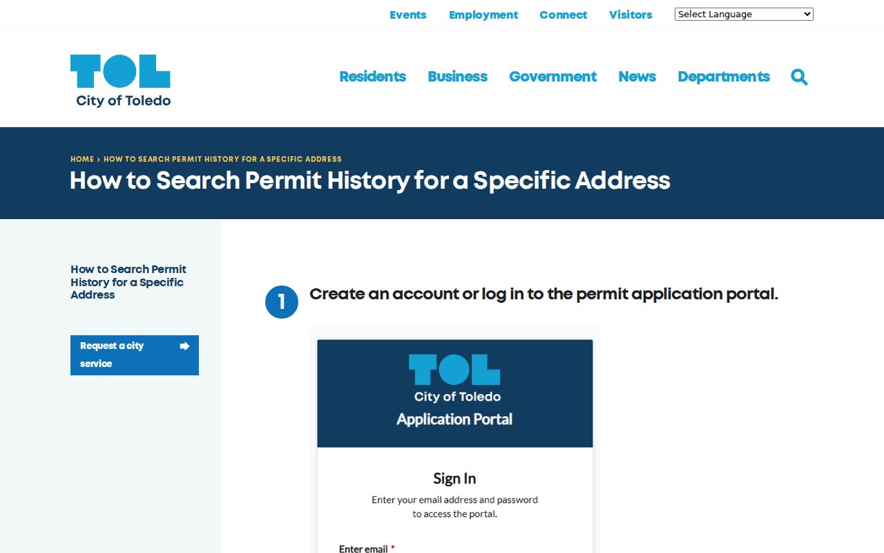
Permit records can date work at an address, but a project participant is not proof of every past resident.
Tracing Lucas County Resident Deeds
The Recorder's own guidance says to begin with the Auditor when the owner is unknown. Take the AREIS parcel and short legal description, then use the Transfers card to note the date, price, buyer, seller, and deed type. Bring the party names and approximate date to the Lucas County Recorder. A legal description is especially important because a recorded instrument may not carry the street address used in a modern search.
- Find the current parcel in AREIS and record the parcel ID, property address, legal description, and available transfer details.
- Use the current owner, buyer, seller, and date to search the Recorder's owner or organization name path with a focused date range.
- Request or inspect the relevant deed and record the party roles, document type, recording placement, date, and legal-description reference.
- Search the later seller as the likely earlier grantee, then repeat the comparison with the legal description rather than assuming a street label remains unchanged.
- When the online path stops, use the Recorder's counter or focused request for archival material instead of assuming an older record does not exist.
- Grantor and grantee
- The grantor transfers an interest in a recorded document; the grantee receives it. Record the roles as written, including trusts and companies.
- Chain of title
- The sequence of title-related transfers traced backward through instruments and their parties.
- Legal description
- The lot, addition, plat, or other land description that links an instrument to a parcel when a street address is missing or changed.
A mortgage or lien is not a title transfer. Check the document type and party role before adding it to a chain of title.
Lucas County Recorder Access Gaps
Recorder imaging began April 14, 2003. That is an imaging milestone, not an online-index start year, because the researched office material does not publish a verified start date for the online index. The Recorder says land records are permanently retained in archival form. Older material should therefore move to a counter, a focused copy request, or an archival search path rather than be called unavailable.
The office lists a counter, an online recordings access point, phone, email, and fax channels. Its public-record policy allows a focused request without a residency, name, or purpose requirement, though staff may help narrow an unclear request. A request for a document type, grantor or grantee, legal description, date range, or book and page is more workable than a broad request for everything connected to a house.
The Recorder's recording-fees page is the source for its copy and document-fee information.
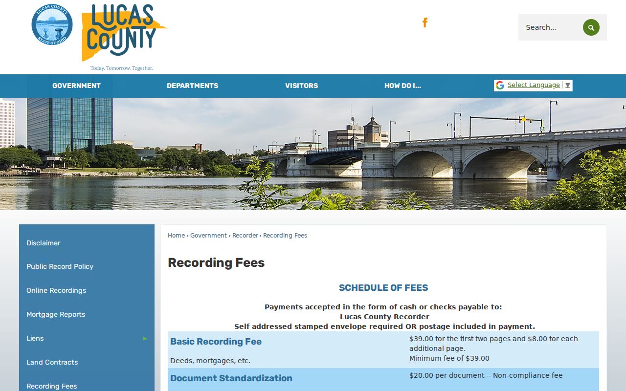
Confirm the current copy method and charges with the Recorder, since a recorded index result and a requested copy are separate access steps.
Lucas County Resident Structure Evidence
Past residents and past structures are different research trails. TLCPL's house-history route connects directories with Auditor block cards, Sanborn maps, architecture materials, maps, and obituaries. Auditor block-card images are searchable by address or keyword and cover 1937-1965. Ohio digital Sanborn access lists city maps for 1882-1962, while physical Toledo volumes are also held locally. These sources can date a footprint or a change to a building, but they do not name all occupants.
The TLCPL building-research guide also identifies an Architecture Collections index that librarians search by address, commission number, or project commissioner. It describes 1970s-1990s aperture cards searchable by year or address and a stated allowance of ten scans per quarter before a small fee. That is a house-history channel when a name search fails.
The TLCPL Land Records Collection is the source for early local property materials.
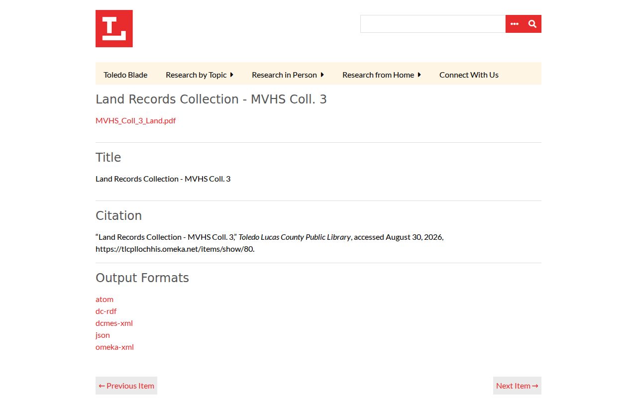
Its 1825 deeds, Port Lawrence records, and early Toledo lot-division material can supply a bridge before a modern parcel or web-record path exists.
Lucas County Historic Street Names
Address continuity can fail for a documented local reason. An 1852 map calls today's Ashland Avenue Territorial Road. Jackson Street was not platted until after 1852, and numbered north-south Uptown streets were largely platted by that year. A portion of Adams Street became Louis Escobar Way on August 18, 2021. For an older address, compare the historic road name, lot or addition, and legal description instead of forcing a newer street label into an older volume.
The City reported on March 30, 2026 that its preservation project had completed scanning more than two dozen 1880s Toledo plat maps for public display. The City's historic plat-map collection can help bridge a present parcel to an addition or neighborhood. It should be used as historic geography, not as a resident directory.
Lucas County Previous Residents in Directories
Owners are only one part of a former-address question. Toledo directories are held from 1858 forward, and their street-and-address guide begins in 1910. For a known address from 1910 or later, compare that guide with the alphabetical listing for the same year. Before 1910, use alphabetical names, blocks, wards, plats, and organization entries without pretending an early entry has a modern house number. The historical directory collection itself is detailed in Lucas County City Directories.
- Select a directory year near the transfer or building date and copy the name, initials, business, address, and year as printed.
- For 1910 or later, test the address in the street guide and compare nearby available directory years for moves or spelling changes.
- Pair the directory year with the closest released federal census. Census schedules follow the federal 72-year release pattern and are not a continuous address record.
- Use an obituary, cemetery, probate, map, or deed source to test a disappearance rather than assuming why a name no longer appears.
This second process is for the household layer. It should remain separate from a deed chain, since a directory listing does not make a person the owner of the parcel.
Lucas County Obituary and Probate Endpoints
TLCPL's obituary index reports 1837-present coverage and searches name, year of death, and address. The house-history guidance advises a last name plus first name or initial and uses the result to identify a microfilm roll. Library scan rules apply. This index is a strong endpoint lead for prior residents, but it does not itself establish a complete household or a current address.
Probate records answer a different question about estates, guardianships, and marriage licenses. The Lucas County Probate Court marriage-records source identifies the court's marriage role; an estate or probate-file request must follow the Probate Court's own access process. Use a death notice, recorded transfer, or directory year to narrow the period before asking for a file.
The Probate Court source is the source for this separate family-record channel.
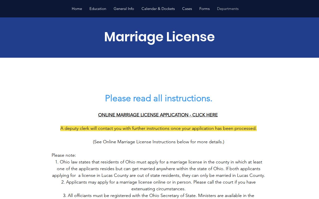
Probate material can corroborate a historical family trail, but it should not be used to fill a missing address or unverified relationship.
Lucas County Previous Residents Limits
House history works best when the records stay tied to their source: AREIS for parcel facts, Recorder documents for title, directories and released census schedules for historical household leads, and maps or permits for structure chronology. Toledo's permit-history workflow is a city-only project-history route. It can identify a project record at an address, but a permit applicant, owner, contractor, or project does not prove every resident.
The Recorder AlertMe service is the source for the future-notification image below.
It is useful only for later recorded-name notifications, not for reconstructing past residents.
Lawful use. Use Lucas County house-history and family-history research for personal, lawful purposes. Do not use names or address details to stalk, harass, or harm a living person.
Note: When an archive or office has a gap, ask the original custodian which series exists and whether a counter or offsite retrieval is needed.